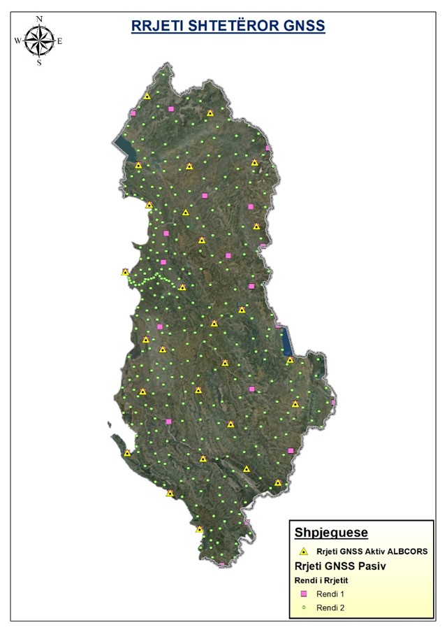
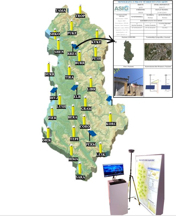
The State Active Network of Global Positioning in the territory of the Republic of Albania is represented by the active network “ALBCORS“
This network is one of the main networks of KRGJSH, which enables the determination of 3D coordinates throughout the territory of Albania.
The ALBCORS network consists of :
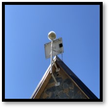
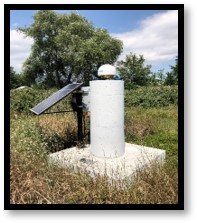
- 21 CORS reference stations of type‘ground type’
- 6 CORS reference stations of type‘roof type’
- 1 monitoring/control center (ASIG)
The coordinates of the 27 CORS reference stations are calculated in the official geodetic reference KRGJSH which is based on the European reference ETRS86/ETRF2000(2014.177) based on the EPN reference stations of class A according to the EUREF recommendations.
The processing of the measurements was carried out by the German company “Geo++” through the program “GNSMART” with a precision of 1 mm in plan and 3 mm in height.

The State Passive Global Positioning Network consists of two orders :
- Passive Global Positioning Network, First Order
- State Passive Global Positioning Network, Second Order
Passive Global Positioning Network, First Order
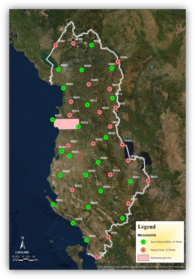
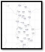
This network consists of 42 geodetic points fixed and distributed almost uniformly in the territory of Albania. 21 points of this network are both passive and active points, providing in this way a physical connection with the active network (ALBCORS).
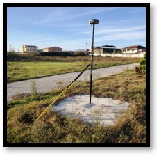
PASIVE POINT ACTIVE AND PASIVE POINT
The coordinates of these points were calculated based on the ALBCORS reference stations, which were measured according to the static method with a minimum duration of 2 hours.
The main purpose of this network is to enable on-site geodetic control, stability control of the ALBCORS Network, as well as maintenance of the European ETRS89 system.
Passive Global Positioning Network, Second Order
The state passive GNSS network of the second order enables the densification of the passive GNSS network of the first order, which consists of 338 fixed and regularly distributed points in the territory of RSH. The points of this network are common points with all the points of the Second Order Networks, of the networks that KRGJSH has in its composition, thus forming a strong and functional base.
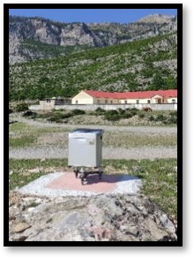
PASIVE POINT ORDER II
The coordinates of the 338 passive points of the second order were calculated based on the ALBCORS reference stations, which were measured according to the static method with a minimum duration of 1 hour.
The main purpose of this network is to enable the geometric configuration of the KRGJSH networks according to European requirements, as well as a wide geodetic base in support of geodetic control and various geodetic, engineering and scientific works.